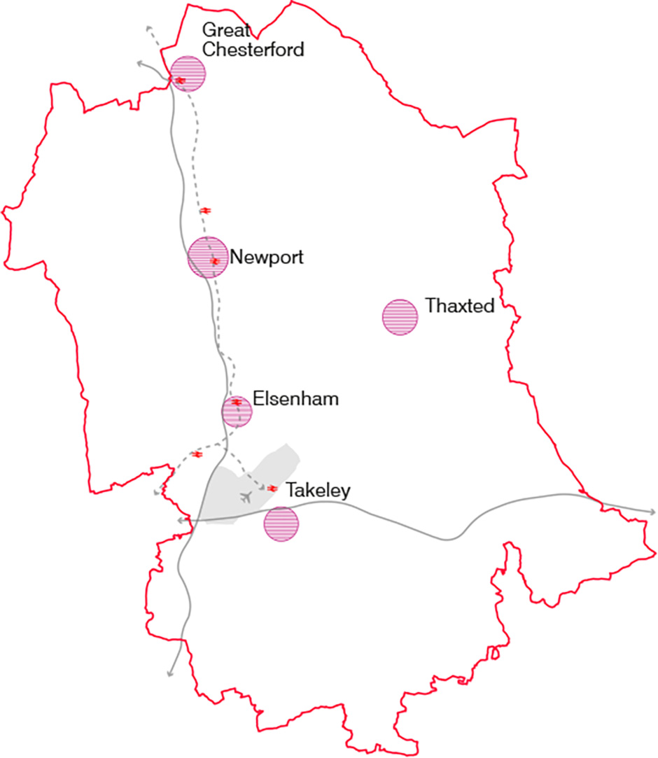
Key Rural Settlements
A number of significant medieval towns developed in the District. Those that grew are the key settlements of Uttlesford today, i.e. Saffron Walden, Great Dunmow and Stansted Mountfitchet. Others that did not see the same level of development have retained much of their original medieval extent and appearance, e.g. Thaxted and Newport.
This chapter will explore:
- Thaxted
- Elsenham
- Newport
- Takeley
- Great Chesterford
- Felsted
- Hatfield Heath
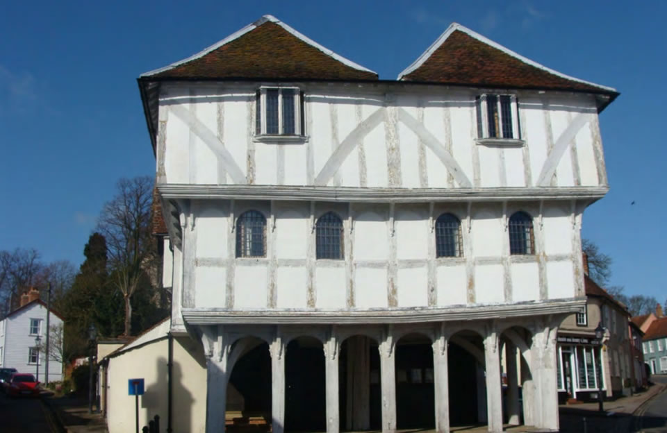
Thaxted
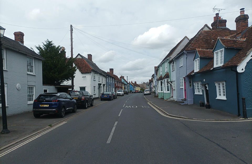
Thaxted was one of the most prosperous towns in Essex in the C14 and C15 as a result of the cutlery industry, vying in business importance with Saffron Walden. The late medieval wealth is reflected in the surviving historic building stock which includes the large Church and the Guildhall is positioned at the head of Town Street which is on the main street of the town.
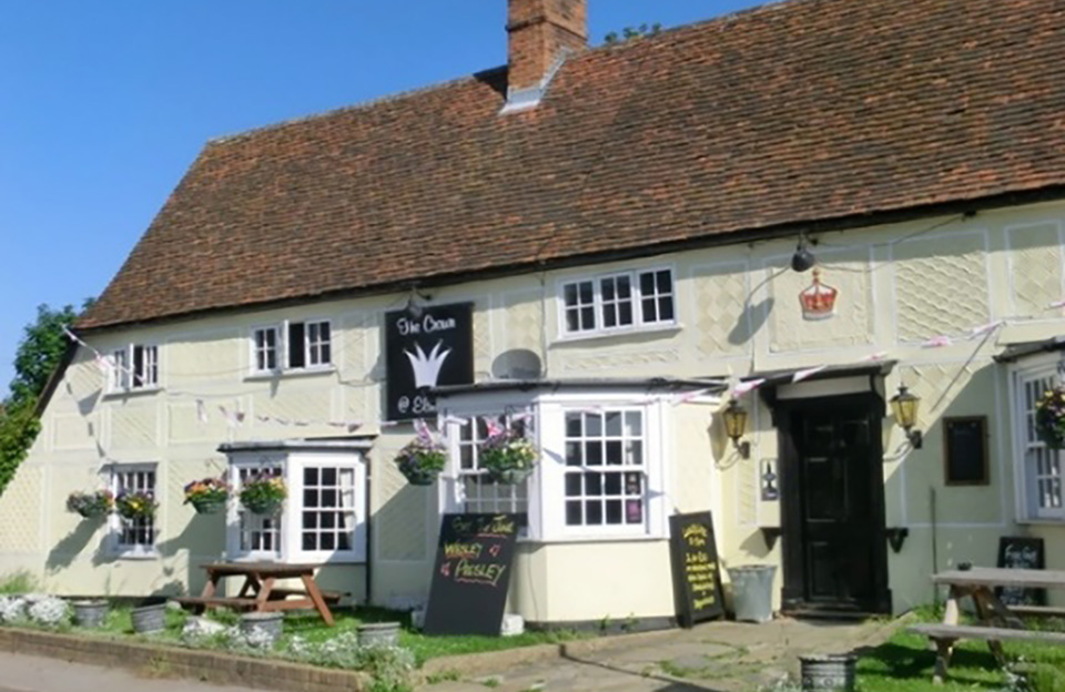
Elsenham
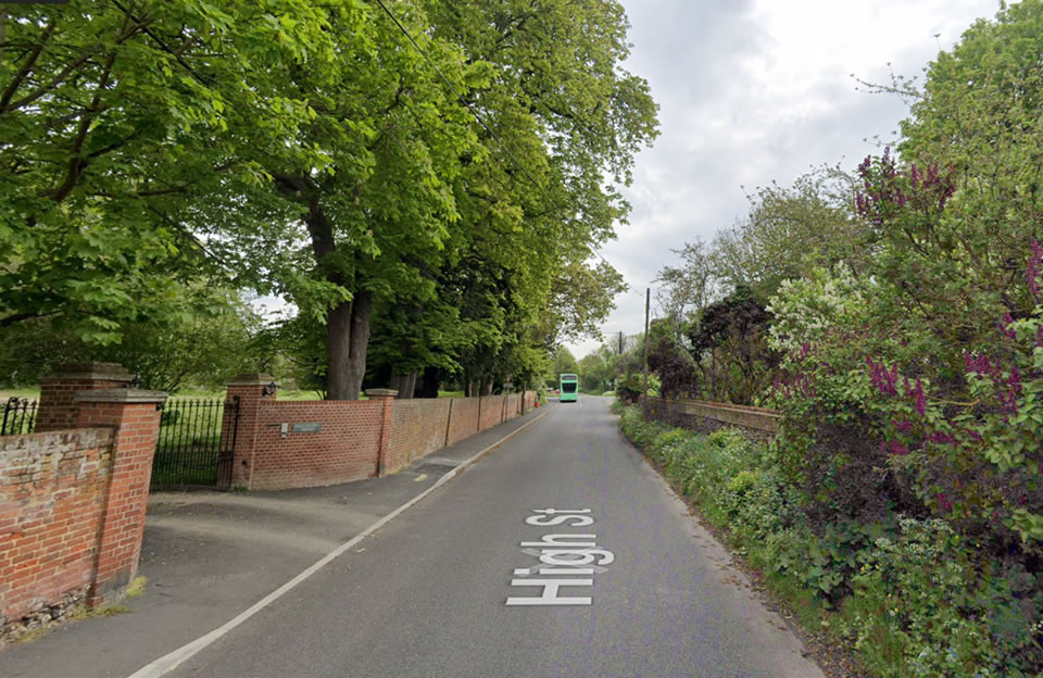
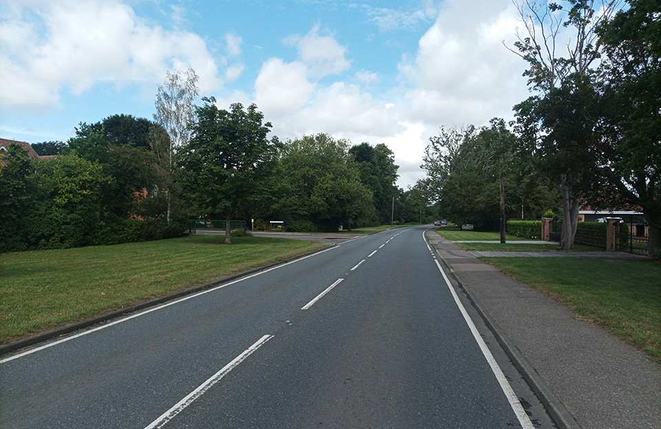
Elsenham was a smaller settlement with Roman origins (a rich burial site is located to the east of the village). Although Elsenham is the one of the larger modern settlements it only developed in the second half of the 20th century and as result doesn’t have a clear focus. The church lies outside the village near the Hall around which, in the post-medieval period, a landscaped park was developed.
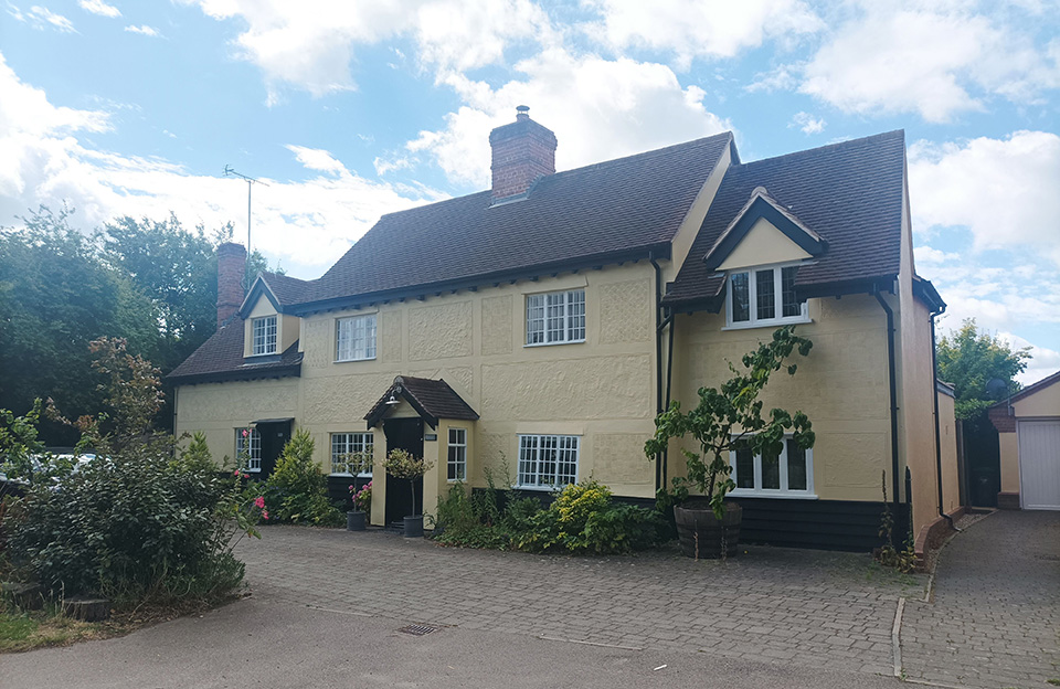
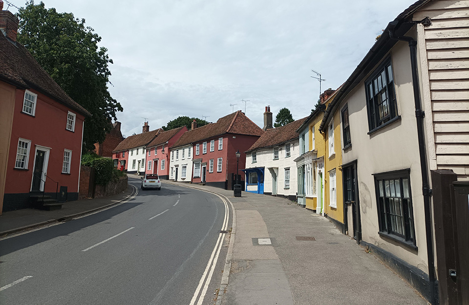
Newport
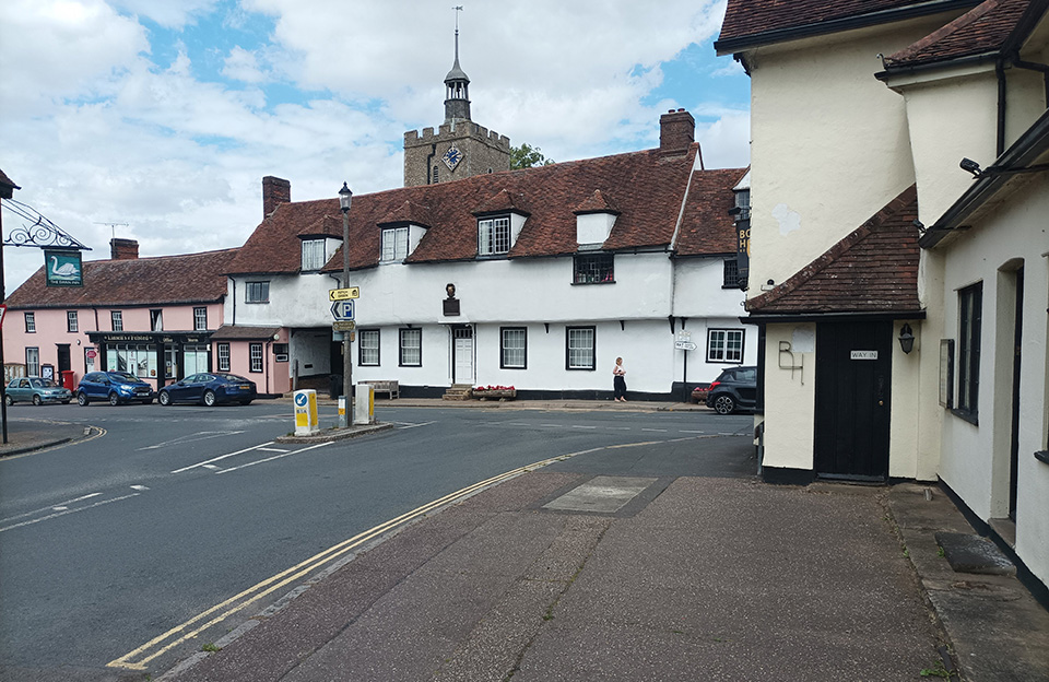
Newport has its origins in the Saxon period as a royal manor with a market. It developed along the High Street and around the church where most of the important buildings in the town are located as a result of the market-based economy in the medieval period alongside the wool trade and saffron cultivation.
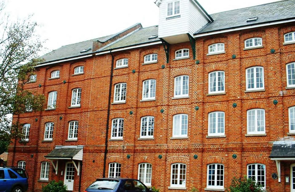
Takeley
Takeley is located in the south of the Uttlesford District and is home to more than 5,000 people. The town only developed in the C20 and much of the parish is covered by Stansted Airport. The most interesting buildings are found along Takeley Street where a cluster of medieval (C15-C17) and Victorian properties are found.
Great Chesterford
Home to 1,750 people and located in the low chalk hills, Great Chesterford has its origins in the Late Iron Age, but it is primarily known as a Roman settlement. The medieval town grew to the south of the Roman town and expanded little in the post-medieval period, but there are several attractive timber-framed houses in the village from this period.
Felsted and Flitch Green
Felsted and Flitch Green are located in the south of the Uttlesford District and are home to more than 3,000 people. Felsted is another notable settlement and is dominated by the buildings and grounds of the school and has as a good group of timber framed buildings (many associated with the school) close to the sizeable church. The large area of open space associated with the school is an important part of the village’s character. Modern development is largely limited to the new housing estate of Oakwood Park on the edge of the town which is now known as Flitch Green.
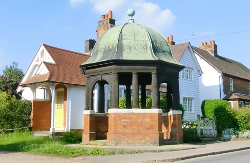
Hatfield Heath
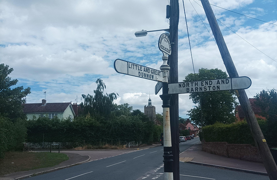
The Parish of Hatfield Heath is a rural community where there are 44 listed buildings or groups of listed buildings, including the Grade II* Down Hall. Just to the north of the village is Camp 116, a Second World War prisoner-of-war camp on Mill Lane which has recently been included on the Local Heritage List for Uttlesford. Originally a hamlet, it grew because of its proximity to main roads and developed a series of hostelries and ale houses in the C17 and C18.
Key Rural Settlements built form design cues

Key Rural Settlements public realm design cues

Page updated: 20/07/2023